
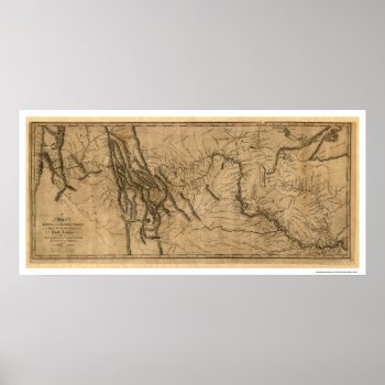
From the largest and most comprehensive cartographic collection in the world, Zazzle brings you this commemorative poster print featuring a reproduction of a map of Lewis and Clark's track across the western portion of North America from the Mississippi River to the Pacific Ocean, by order of the executive of the United States in 1804, copied by Samuel Lewis in 1814 from the original drawing done by William Clark in 1804.