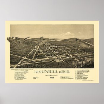
From the largest and most comprehensive cartographic collection in the world, Zazzle brings you this commemorative poster print featuring a panoramic view of the city of Ironwood, Michigan was originally drawn by H. Wellge in 1886. The map identifies the street names and points of interest in Ironwood more than a century ago. The printed detail is outstanding.
Continue reading
Tag Archives: panoramic
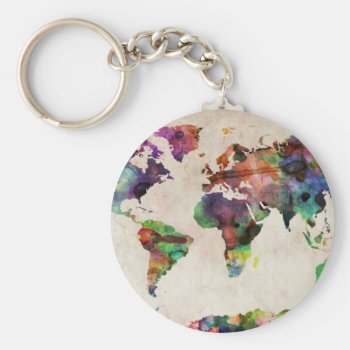
World Map Urban Watercolor Key Chain
A map of the world, created from watercolor painting and digital manipulation. Maps come in many shapes and forms. Although current atlas style maps are highly functional, they have lost some of the creativity and artistic flare that can be seen in many antique maps. This is part of a collection of maps I have created, bringing in some interesting and modern elements to the design of the standard world map.
Continue reading
The Hitchhiker Print
This hitchhiker needs a lift… any volunteers?
Continue reading
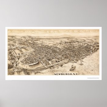
Newburgh, NY Panoramic Map – 1900 Print
From the largest and most comprehensive cartographic collection in the world, Zazzle brings you this commemorative poster print featuring a panoramic view of the city of Newburgh, New York was originally produced in 1900. The map identifies the street names and points of interest in Newburgh more than a century ago. The printed detail is outstanding.
Continue reading
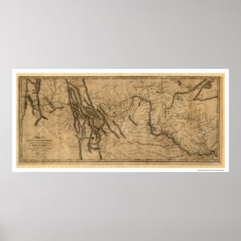
Lewis & Clark Expedition Map – 1804 Print
From the largest and most comprehensive cartographic collection in the world, Zazzle brings you this commemorative poster print featuring a reproduction of a map of Lewis and Clark's track across the western portion of North America from the Mississippi River to the Pacific Ocean, by order of the executive of the United States in 1804, copied by Samuel Lewis in 1814 from the original drawing done by William Clark in 1804.
Continue reading
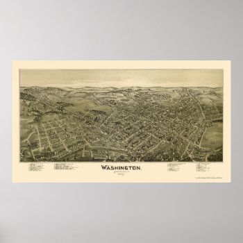
Washington, PA Panoramic Map – 1897 Poster
From the largest and most comprehensive cartographic collection in the world, Zazzle brings you this commemorative poster print featuring a panoramic view of the city of Washington, Pennsylvania was originally drawn by T.M. Fowler in 1897. The map identifies the street names and points of interest in Washington more than a century ago. The printed detail is outstanding.
Continue reading
Antique Known World Map ~ Vintage Travel Artwork Print
A wonderful old World Continent Map perfect for your home wall decor. Add a frame and it would make the perfect retro decoration in your bar, cafe, restaurant, home theater, office or kitchen. Framed canvas prints also make an exceptional gift for any occasion or holiday. A world map is a map of the surface of the Earth, which may be made using any of a number of different map projections. A map projection is any method of representing the surface of a sphere or other three-dimensional body on a plane. Maps of the world are often either 'political' or 'physical'. The most important purpose of the political map is to show territorial borders; the purpose of the physical map is to show features of geography such as mountains, soil type or land use. Geological maps show not only the physical surface, but characteristics of the underlying rock, fault lines, and subsurface structures. Credit: Wikipedia At The Vintage Vamp we obtain high quality images of vintage artwork. Then we use state of the art technology and editing to bring back to life the most compelling images from the past. Unlike a lot of reproductions sold on the Internet, ours have been refurbished to bring out the original colors and fix as many imperfections as possible. We use only PNG format and the largest PPI (pixels per inch) possible, which is the very best for printing. This assures that your image will print with the highest quality possible, no matter what size you choose. Credit: Library of Congress
Continue reading
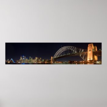
Sydney australia Harbour Bridge at night panorama Print
h: Sydney Harbour Bridge as seen from the North Shore suburb of Kirribilli. Sovereign Citizens American Liberty Merchandise http://www.zazzle.com/sovereigns* Ron Paul Shop http://www.zazzle.com/ronpaulshop* The Artgalleria Of Fine Art & Photography http://www.zazzle.com/artgalleria* [All Rights Reserved; w/o Prejudice: U.C.C. 1-308.] http://commons.wikimedia.org/wiki/File:Sydney_Harbour_Bridge_night.jpg …. “sydney harbour bridge” “kirribilli australia” “sidney australia” australia panorama panoramic poster photo photograph
Continue reading
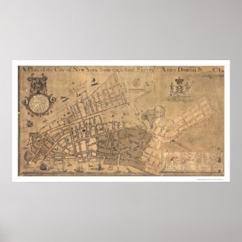
City Of New York Map 1755 Print
From the largest and most comprehensive cartographic collection in the world, Zazzle brings you this commemorative poster print featuring a reproduction of an early map plan of the city of New York from an actual survey; created by Francis Maerschalck in 1755.
Continue reading

