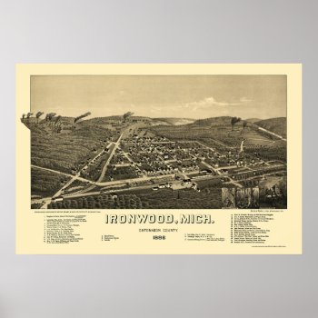
From the largest and most comprehensive cartographic collection in the world, Zazzle brings you this commemorative poster print featuring a panoramic view of the city of Ironwood, Michigan was originally drawn by H. Wellge in 1886. The map identifies the street names and points of interest in Ironwood more than a century ago. The printed detail is outstanding.
Continue reading