Tag Archives: vintage maps
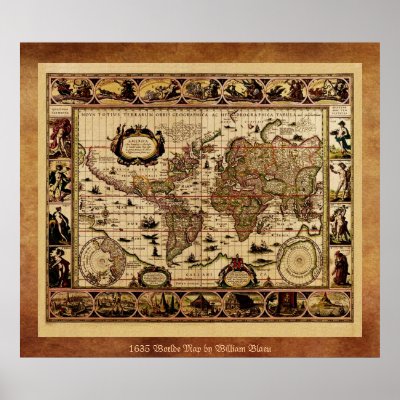
Antique Known World Map ~ Vintage Travel Artwork Print
A wonderful old World Continent Map perfect for your home wall decor. Add a frame and it would make the perfect retro decoration in your bar, cafe, restaurant, home theater, office or kitchen. Framed canvas prints also make an exceptional gift for any occasion or holiday. A world map is a map of the surface of the Earth, which may be made using any of a number of different map projections. A map projection is any method of representing the surface of a sphere or other three-dimensional body on a plane. Maps of the world are often either 'political' or 'physical'. The most important purpose of the political map is to show territorial borders; the purpose of the physical map is to show features of geography such as mountains, soil type or land use. Geological maps show not only the physical surface, but characteristics of the underlying rock, fault lines, and subsurface structures. Credit: Wikipedia At The Vintage Vamp we obtain high quality images of vintage artwork. Then we use state of the art technology and editing to bring back to life the most compelling images from the past. Unlike a lot of reproductions sold on the Internet, ours have been refurbished to bring out the original colors and fix as many imperfections as possible. We use only PNG format and the largest PPI (pixels per inch) possible, which is the very best for printing. This assures that your image will print with the highest quality possible, no matter what size you choose. Credit: Library of Congress
Continue reading
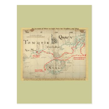
An Authentic 1690 Pirate Map (with embellishments) Postcards
This is a real Pirate Map from 1690, but the part about the treasure (i.e. the narrative on the bottom, the title I added on top, and all the stuff in red) is made up. I added it just for fun, and it has no basis in any historic facts whatsoever. The map is from “Hack's descript of ye East Indies”, also known as The Buccaneer Atlas because it is based on the experience of William Hacke (the cartographer) in association with Captain Bartholomew Sharpe, the notorious Buccaneer, on various expeditions to the South Seas. No buried treasure, but a navigational aid for finding hidden rivers, bays and other hideaways or site for ambuscades. See my other maps for an unembellished version.
Continue reading
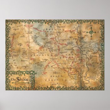
The Shire Poster
The Hobbit: An Unexpected Journey
Continue reading
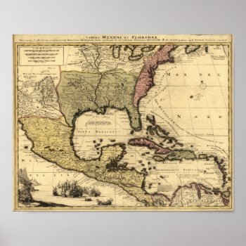
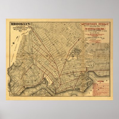
1710 Map of Mexico, Caribbean and North America Poster
Vintage Map Reproduction. High Resolution image suitable for large or small copies. This is a reproduction and may have been digitally enhanced to repair flaws, major stains, etcetera. Image courtesy of OldBookArt.com. Visit their Blog or their Gallery to find thousands of other free images and maps from public domain sources. Many Images are from Books and Maps for Sale at ZephyrusBooks.com .
Continue reading
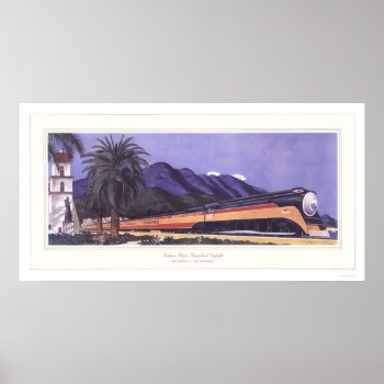
Southern Pacific Streamlined Daylight Poster
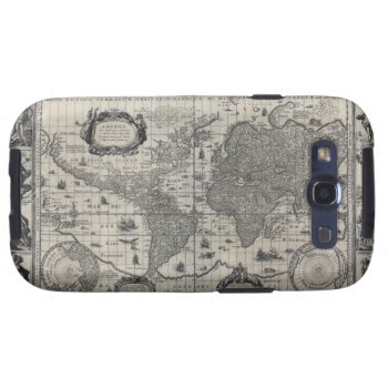
Nova totius terrarum, 1606 Antique World Map Samsung Galaxy SIII Cover
Go To Zephyrus Books Storefront Click here to see this image on all available products Nova totius terrarum orbis geographica ac hydrographica tabula, by Willem Janszoon BlaeuHigh Resolution image suitable for large or small copies. This is a reproduction and may have been digitally enhanced to repair flaws, major stains, etcetera. The images are reproduced here from very high resolution files, so you can be confident that the quality will remain the best. The images have been edited and cleaned up. Image courtesy of OldBookArt.com. Visit their Blog or their Gallery to find thousands of other free images and maps from public domain sources. Many Images are from Books and Maps for Sale at ZephyrusBooks.com .
Continue reading

