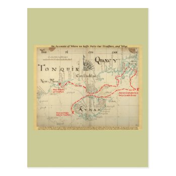
This is a real Pirate Map from 1690, but the part about the treasure (i.e. the narrative on the bottom, the title I added on top, and all the stuff in red) is made up. I added it just for fun, and it has no basis in any historic facts whatsoever. The map is from “Hack's descript of ye East Indies”, also known as The Buccaneer Atlas because it is based on the experience of William Hacke (the cartographer) in association with Captain Bartholomew Sharpe, the notorious Buccaneer, on various expeditions to the South Seas. No buried treasure, but a navigational aid for finding hidden rivers, bays and other hideaways or site for ambuscades. See my other maps for an unembellished version.
Continue reading
Tag Archives: anchorages
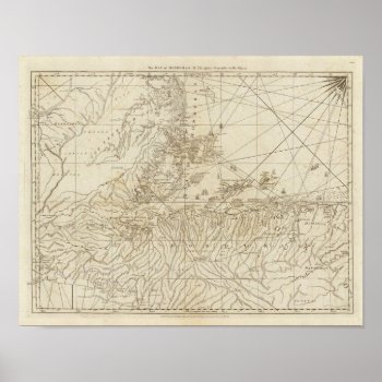
The Bay of Honduras Print
The Bay of Honduras. By Jefferys, Thomas (177). Published by ''London: Sayer and Bennett”.
Continue reading


