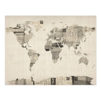
A map of the world made from a collage of old postcards, in different languages and with stamps from a variety of countries, on an antique style background.
Continue reading

A map of the world made from a collage of old postcards, in different languages and with stamps from a variety of countries, on an antique style background.
Continue reading
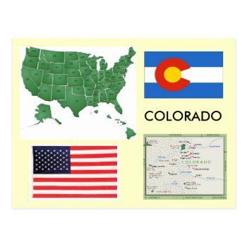
Colorado map and flag,United states map and flag
Continue reading
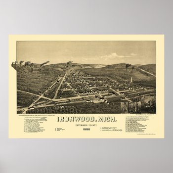
From the largest and most comprehensive cartographic collection in the world, Zazzle brings you this commemorative poster print featuring a panoramic view of the city of Ironwood, Michigan was originally drawn by H. Wellge in 1886. The map identifies the street names and points of interest in Ironwood more than a century ago. The printed detail is outstanding.
Continue reading
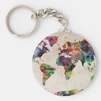
A map of the world, created from watercolor painting and digital manipulation. Maps come in many shapes and forms. Although current atlas style maps are highly functional, they have lost some of the creativity and artistic flare that can be seen in many antique maps. This is part of a collection of maps I have created, bringing in some interesting and modern elements to the design of the standard world map.
Continue reading
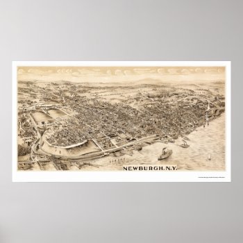
From the largest and most comprehensive cartographic collection in the world, Zazzle brings you this commemorative poster print featuring a panoramic view of the city of Newburgh, New York was originally produced in 1900. The map identifies the street names and points of interest in Newburgh more than a century ago. The printed detail is outstanding.
Continue reading
![]()
A completely original redesign of Boston's “T” Rapid Transit Map. This version shows all the stations on the Green Line (unlike the official map) as well as select key bus routes. Note that due to fine detail and small type, this design will look best in larger print sizes: I recommend 36″ x 24″ and larger.
Continue reading
“Nova totius terrarum orbis tabula auctore” – by Frederik de Wit (circa 1660). I'm forever fascinated with antique maps, and this one is a favorite. Notice how the “United States” as we know it is not entirely filled in….the Natives were there, only the Europeans didn't know it!
Continue reading
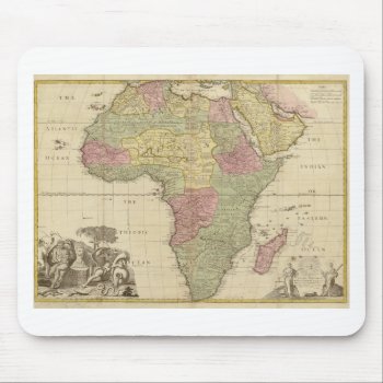
Map by John Senex: Africa, corrected from the observations of the Royal Society at London and Paris. High Resolution image suitable for large or small copies. This is a reproduction and may have been digitally enhanced to repair flaws, major stains, etcetera.
Continue reading
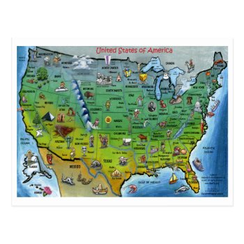
Cartoon Map of USA
Continue reading
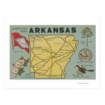
Arkansas – Large Letter Scenes – Arkansas was created in 1954. This image depicts scenes from Arkansas.
Continue reading