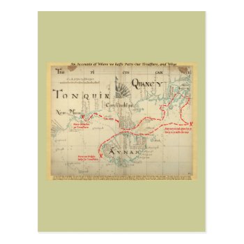
This is a real Pirate Map from 1690, but the part about the treasure (i.e. the narrative on the bottom, the title I added on top, and all the stuff in red) is made up. I added it just for fun, and it has no basis in any historic facts whatsoever. The map is from “Hack's descript of ye East Indies”, also known as The Buccaneer Atlas because it is based on the experience of William Hacke (the cartographer) in association with Captain Bartholomew Sharpe, the notorious Buccaneer, on various expeditions to the South Seas. No buried treasure, but a navigational aid for finding hidden rivers, bays and other hideaways or site for ambuscades. See my other maps for an unembellished version.
Continue reading
Tag Archives: ancient maps
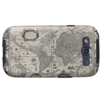
Nova totius terrarum, 1606 Antique World Map Samsung Galaxy SIII Cover
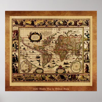
Go To Zephyrus Books Storefront Click here to see this image on all available products Nova totius terrarum orbis geographica ac hydrographica tabula, by Willem Janszoon BlaeuHigh Resolution image suitable for large or small copies. This is a reproduction and may have been digitally enhanced to repair flaws, major stains, etcetera. The images are reproduced here from very high resolution files, so you can be confident that the quality will remain the best. The images have been edited and cleaned up. Image courtesy of OldBookArt.com. Visit their Blog or their Gallery to find thousands of other free images and maps from public domain sources. Many Images are from Books and Maps for Sale at ZephyrusBooks.com .
Continue reading


