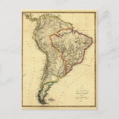
Map by Samuel Lewis
A New map of South America from the latest authorities. High Resolution image suitable for large or small copies. This is a reproduction and may have been digitally enhanced to repair flaws, major stains, etcetera.
Vintage Map Reproduction. High Resolution image suitable for large or small copies. This is a reproduction and may have been digitally enhanced to repair flaws, major stains, etcetera.
Image courtesy of OldBookArt.com. Visit their Blog or their Gallery to find thousands of other free images and maps from public domain sources.

