
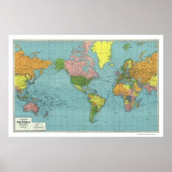
From the largest and most comprehensive cartographic collection in the world, Zazzle brings you this commemorative poster print featuring A highly detailed map of the world based on Mercator's Projection; showing the areas occupied by Germany during World War II. a map references principal railways, shipping routes (distances in nautical miles), coaling stations, wireless stations, etc.; created in 1942.