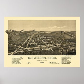
From the largest and most comprehensive cartographic collection in the world, Zazzle brings you this commemorative poster print featuring a panoramic view of the city of Ironwood, Michigan was originally drawn by H. Wellge in 1886. The map identifies the street names and points of interest in Ironwood more than a century ago. The printed detail is outstanding.
Continue reading
Tag Archives: maps by location
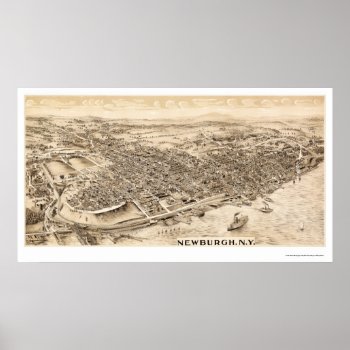
Newburgh, NY Panoramic Map – 1900 Print
From the largest and most comprehensive cartographic collection in the world, Zazzle brings you this commemorative poster print featuring a panoramic view of the city of Newburgh, New York was originally produced in 1900. The map identifies the street names and points of interest in Newburgh more than a century ago. The printed detail is outstanding.
Continue reading
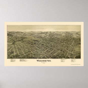
Washington, PA Panoramic Map – 1897 Poster
From the largest and most comprehensive cartographic collection in the world, Zazzle brings you this commemorative poster print featuring a panoramic view of the city of Washington, Pennsylvania was originally drawn by T.M. Fowler in 1897. The map identifies the street names and points of interest in Washington more than a century ago. The printed detail is outstanding.
Continue reading
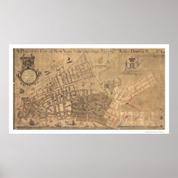
City Of New York Map 1755 Print
From the largest and most comprehensive cartographic collection in the world, Zazzle brings you this commemorative poster print featuring a reproduction of an early map plan of the city of New York from an actual survey; created by Francis Maerschalck in 1755.
Continue reading
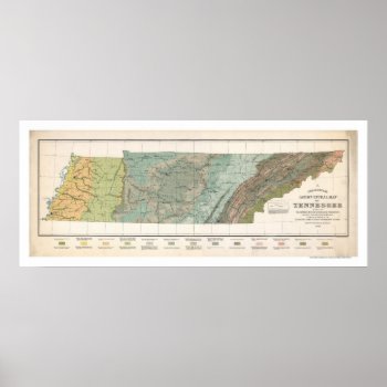
Tennessee Agriculture Map 1896 Posters
From the largest and most comprehensive cartographic collection in the world, Zazzle brings you this commemorative poster print featuring a large scale reproduction of a map of Tennessee agriculture based on the distribution of geological formations in 1896.
Continue reading
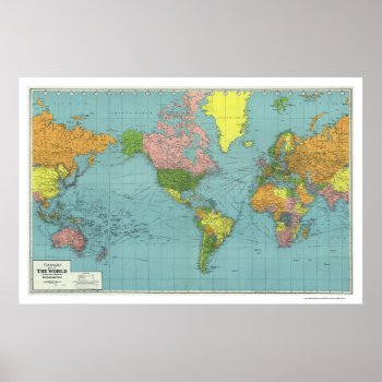
Detailed WWII World Map 1942 Posters
From the largest and most comprehensive cartographic collection in the world, Zazzle brings you this commemorative poster print featuring A highly detailed map of the world based on Mercator's Projection; showing the areas occupied by Germany during World War II. a map references principal railways, shipping routes (distances in nautical miles), coaling stations, wireless stations, etc.; created in 1942.
Continue reading
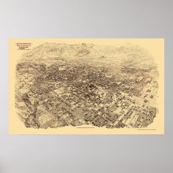
Pasadena, CA Panoramic Map – 1903 Posters
From the largest and most comprehensive cartographic collection in the world, Zazzle brings you this commemorative poster print featuring a panoramic view of the city of Pasadena, California was originally produced by Wm. R. Staats Co. in 1903. The map identifies points of interest in Pasadena more than a century ago. The printed detail is outstanding.
Continue reading
Around the World Drake Map – 1595 Print
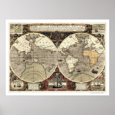
From the largest and most comprehensive cartographic collection in the world, Zazzle brings you this commemorative poster print featuring a reproduction of an early map showing the routes around the world of Sir Francis Drake between 1577 and 1580 and Thomas Cavendish between 1586 and 1588 with 2 ancillary maps showing landing at California and Java, 2 ancillary views showing Drake's welcome at Moluccas and Drake's ship cast up on the rocks near the Celebes; created by Jodocus Hondius in 1595.
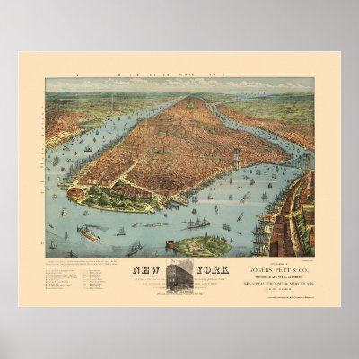
Manhattan, NY Panoramic Map – 1879 Posters
Nashville, TN Panoramic Map – 1897 Poster
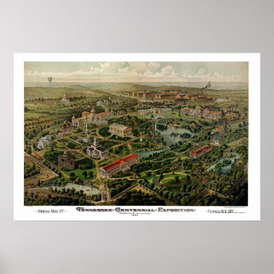
From the largest and most comprehensive cartographic collection in the world, Zazzle brings you this commemorative poster print featuring a panoramic view of the city of Nashville, Tennessee and the Centennial Exposition was originally produced by the Henderson Lithography Co. in 1897. The map shows the special buildings erected for the celebration of the Centennial Exposition and points of interest in Nashville more than a century ago. The printed detail is outstanding.

