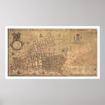
From the largest and most comprehensive cartographic collection in the world, Zazzle brings you this commemorative poster print featuring a reproduction of an early map plan of the city of New York from an actual survey; created by Francis Maerschalck in 1755.
Continue reading