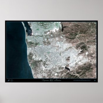
Tijuana, Baja California Mexico satellite poster map print photo
Continue reading

Tijuana, Baja California Mexico satellite poster map print photo
Continue reading
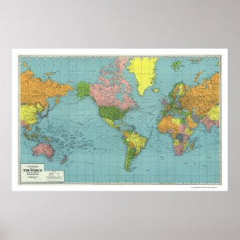
From the largest and most comprehensive cartographic collection in the world, Zazzle brings you this commemorative poster print featuring A highly detailed map of the world based on Mercator's Projection; showing the areas occupied by Germany during World War II. a map references principal railways, shipping routes (distances in nautical miles), coaling stations, wireless stations, etc.; created in 1942.
Continue reading
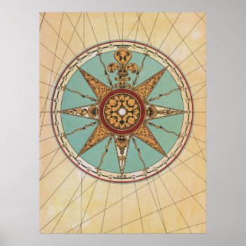
From a circa 1755 French map.
Continue reading
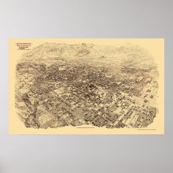
From the largest and most comprehensive cartographic collection in the world, Zazzle brings you this commemorative poster print featuring a panoramic view of the city of Pasadena, California was originally produced by Wm. R. Staats Co. in 1903. The map identifies points of interest in Pasadena more than a century ago. The printed detail is outstanding.
Continue reading
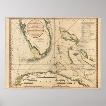
High resolution scan of a beautiful vintage map and nautical chart of the Gulf of Florida created by William Faden in 1794.
Continue reading
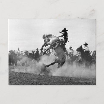
A rodeo cowboy riding a bucking bronc.
Continue reading

Texas – Panoramic Map – Texas was created in 1866. This image depicts scenes from Texas.
Continue reading

Vintage old world map cartographic artwork by William Blaeu (1635).

Europe – Panoramic Map – Europe was created in 1769. This image depicts scenes from Europe.
