Antique Old World Map of Africa, c. 1635 Mouse Pads
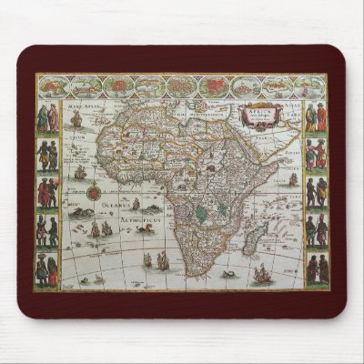
Antique Old World Map of Africa, c. 1635 Mouse Pads
Vintage illustration antique world map featuring the continent of Africa and the island of Madagascar, c. 1635. By cartographer Willem Jansz Blaeu (1571-1638). Willem Janszoon Blaeu was a Dutch cartographer, atlas maker and publisher. The Atlantic and Indian Oceans have ships sailing the seas to travel and navigate the globe. Surrounding this international African chart are people dressed in native costumes and along the top edge are smaller city maps.

product tags: geography, nostalgic, cartography, retro, nostalgia, mercator, antique, americana, vintage, international, mousepads,

Continue reading

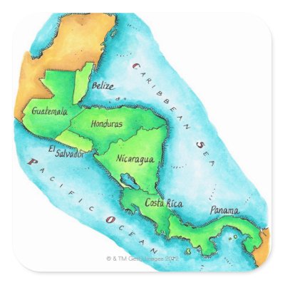
Map of Central America Sticker

Map of Central America Sticker

product tags: text, vertical, boundary, central america, map, belize, guatemala, honduras, nicaragua, panama, green, water, land, pen and ink, illustration and painting, no people, latin america, cartography, imagination image, geography, internal representation, isthmus, thought image, continent, visual image, sovereign state, memory image, region, mental representation, americas, nonsolid colour, north america, nonsolid color, south america, stickers,

Continue reading

Around the World Drake Map – 1595 Print
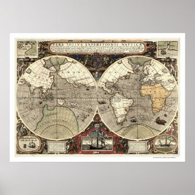
Around the World Drake Map - 1595 Print
From the largest and most comprehensive cartographic collection in the world, Zazzle brings you this commemorative poster print featuring a reproduction of an early map showing the routes around the world of Sir Francis Drake between 1577 and 1580 and Thomas Cavendish between 1586 and 1588 with 2 ancillary maps showing landing at California and Java, 2 ancillary views showing Drake's welcome at Moluccas and Drake's ship cast up on the rocks near the Celebes; created by Jodocus Hondius in 1595.

product tags: map, maps, maps by location, world, continents, space, cartography, topography, panoramic, photo, states, cities, territoies, posters,

Continue reading

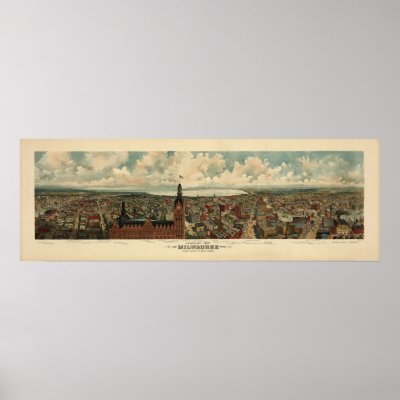
1898 Milwaukee, WI Birds Eye View Panoramic Map Print

1898 Milwaukee, WI Birds Eye View Panoramic Map Print
Digitally Remastered 1898 Panoramic Map, a birds eye view of Milwaukee, WI. See my Zazzle store to find your Panoramic Birds Eye View Map.

product tags: milwaukee, wisconsin, wis, birdseye, birds, eye, bird's, view, panoramic, map, state, antique, photo, reprint, perspective, landscape, historic, history, geography, chart, vintage, united, states, u s, cartography, posters,

Continue reading

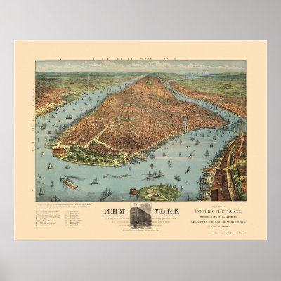
Manhattan, NY Panoramic Map – 1879 Posters

Manhattan, NY Panoramic Map - 1879 Posters
From the largest and most comprehensive cartographic collection in the world, Zazzle brings you this commemorative poster print featuring a reproduction of an original bird's-eye view of the city of Manhattan and surrounding parts of New York originally produced by Currier & Ives in 1879.

product tags: map, maps, maps by location, united states, new york, new york city, cartography, topography, panoramic, photo, states, cities, territoies, posters,

Continue reading

Europe According to Switzerland Postcard

Europe According to Switzerland Postcard

product tags: alphadesigner, mapping stereotypes, yanko tsvetkov, world, map, geography, cartography, country, nation, national, politics, global, international, ironic, humor, fun, funny, joke, prejudice, stereotype, bigotry, switzerland, europe, postcards,

Continue reading

Nashville, TN Panoramic Map – 1897 Poster
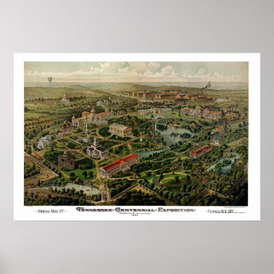
Nashville, TN Panoramic Map - 1897 Poster
From the largest and most comprehensive cartographic collection in the world, Zazzle brings you this commemorative poster print featuring a panoramic view of the city of Nashville, Tennessee and the Centennial Exposition was originally produced by the Henderson Lithography Co. in 1897. The map shows the special buildings erected for the celebration of the Centennial Exposition and points of interest in Nashville more than a century ago. The printed detail is outstanding.

product tags: map, maps, maps by location, united states, tennessee, nashville, tennessee centennial, cartography, topography, panoramic, photo, states, cities, commemorative, posters,

Continue reading

Milwaukee, WI Panoramic Map – 1872 Print
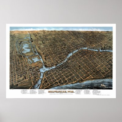
Milwaukee, WI Panoramic Map - 1872 Print
From the largest and most comprehensive cartographic collection in the world, Zazzle brings you this commemorative poster print featuring a panoramic view of the city of Milwaukee, Wisconsin was originally produced by Milwaukee Lithographing and Engraving in 1872. The map identifies the street names and points of interest in Milwaukee more than a century ago. The printed detail is outstanding.

product tags: map, maps, maps by location, united states, wisconsin, milwaukee, cartography, topography, panoramic, photo, states, cities, territoies, posters,

Continue reading