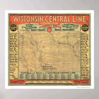
From the largest and most comprehensive cartographic collection in the world, Zazzle brings you this commemorative poster print featuring a reproduction of an original map of the western United States framed in border giving major rail stations along the route and a shippers guide; shows relief by hachures, drainage, cities and towns, state boundaries, and the railroad network with named lines; the Wisconsin Central Line emphasized in heavy black; published in 1882.
Tag Archives: cartography
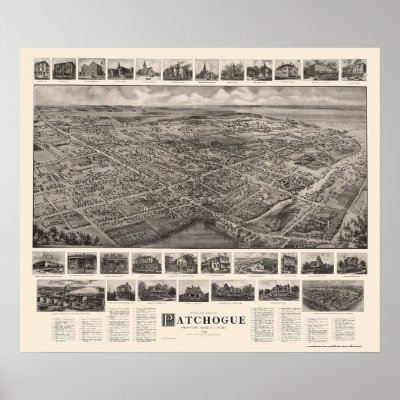
Patchogue, NY Panoramic Map – 1906 Poster
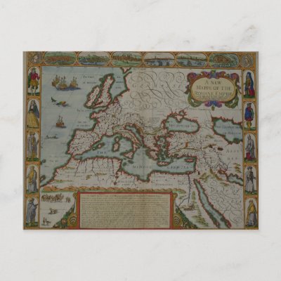
A New Map of the Roman Empire Post Card

John Speed's A New Map of the Roman Empire, from 'A Prospect of the Most Famous Parts of the World', pub. by Bassett & Chiswell, 1676 (hand coloured plate engraving) located at the O'Shea Gallery, London, UK. John Speed was a French artist. The A New Map of the Roman Empire, from 'A Prospect of the Most Famous Parts of the World', pub. by Bassett & Chiswell, 1676 (hand coloured plate engraving) was created around 1676 AD.
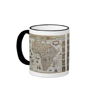
Antique Old World Map of Africa, c. 1635 Mug

Vintage illustration antique world map featuring the continent of Africa and the island of Madagascar, c. 1635. By cartographer Willem Jansz Blaeu (1571-1638). Willem Janszoon Blaeu was a Dutch cartographer, atlas maker and publisher. The Atlantic and Indian Oceans have ships sailing the seas to travel and navigate the globe. Surrounding this international African chart are people dressed in native costumes and along the top edge are smaller city maps.


